St. Louis grew from a French fur trading post on a limestone bluff into a sprawling metro area, but the geology never changed. Karst limestone sits just below the surface across much of the city and county. That means voids. Cavities. Unpredictable bedrock. When the old riverfront warehouses gave way to modern infill projects near the Gateway Arch grounds, engineers ran into surprises that standard borings missed. Our team uses seismic tomography to image those hidden features before excavation begins. We map P-wave and S-wave velocity profiles that show exactly where competent rock starts and where the weak zones hide. The method works well in the Mississippi River floodplain too, where test pit data alone cannot reveal deep paleochannel geometry or buried channel-fill deposits that affect foundation design.
Karst limestone beneath St. Louis creates void conditions that no amount of drilling alone can fully map — seismic tomography provides the continuous image that standard borings miss.
Process and scope
Local ground factors
The St. Louis area sits within the New Madrid Seismic Zone influence. While the city lies about 240 km from the zone's core, the 1811-1812 earthquake sequence caused documented damage here. Karst terrain adds another layer of risk. Voids in the Burlington-Keokuk limestone collapse under load or during heavy rainfall cycles. A sinkhole opened on Cherokee Street in 2018 after a water main break, swallowing a parked car. That is urban karst in action. Seismic tomography maps the velocity anomalies that signal these cavities before they become problems. We also use the shear wave velocity profiles directly in site classification per IBC Table 1613.2.2 to determine whether a Site Class C, D, or E applies for seismic design.
Reference standards
ASTM D5777 Standard Guide for Using the Seismic Refraction Method, ASCE 7-22 Minimum Design Loads and Associated Criteria for Buildings, IBC 2021 Chapter 16 Structural Design and Site Classification, ASTM D7400 Standard Test Methods for Downhole Seismic Testing
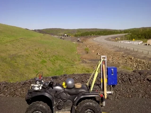
Associated technical services
Seismic Refraction Tomography
Best for mapping bedrock depth, rippability, and detecting voids in the top 30 meters. We lay out geophone spreads up to 115 meters and process first-arrival traveltimes into velocity cross-sections. Works well in the limestone bluffs west of I-270 and along the Meramec River valley where rock is shallow.
Downhole and Crosshole Seismic
For sites where surface access is limited or you need velocity profiles deeper than 30 meters. We lower a triaxial geophone into a cased borehole and measure arrival times at fixed depth intervals. Crosshole surveys between two or more boreholes give the highest resolution for detecting small voids and fractures in karst rock.
Typical parameters
Questions and answers
What does a seismic tomography survey in St. Louis typically cost?
Most projects fall between US$2,440 and US$5,720 depending on survey length, target depth, and site access conditions. A basic refraction line for a single-family lot runs toward the lower end. A crosshole survey with multiple boreholes or a large commercial site with several refraction lines reaches the upper range. We provide a fixed-price proposal after reviewing your site plan and geotechnical objectives.
How deep can you see with seismic methods in St. Louis limestone?
Refraction surveys typically image down to 30-40 meters with a 115-meter geophone spread. Crosshole tomography between boreholes spaced up to 10 meters apart can reach 60 meters or deeper, depending on borehole depth. The limestone bedrock in the St. Louis area transmits seismic energy well, so we often get better depth penetration here than in loose alluvial soils across the river.
Can seismic tomography detect sinkholes before they collapse?
Yes. Air-filled or clay-filled voids in limestone show up as distinct low-velocity anomalies on the tomographic cross-section. We have mapped cavities as small as 0.8 meters across in the Burlington-Keokuk formation. The method does not tell you if a void will collapse tomorrow, but it shows exactly where to investigate further with targeted drilling or grouting before placing foundations.
How long does a survey take and what access do you need?
A single refraction line takes one day of field work. We need a clear strip roughly 5 meters wide along the survey line. The geophones couple to the ground surface, so we trim tall grass but do not need pavement removal. Processing and reporting takes 3-5 business days after the field work. For crosshole surveys, the boreholes must be drilled and cased before our crew arrives.